Washington Oregon Off Road Trails - Push Pin Map
In stock
Custom Requests
If you have a custom map request, click here
Description
This map captures the rugged, mist-covered soul of the Pacific Northwest. From the dense coastal forests and volcanic peaks of the Cascades to the high-desert plateaus, this is the definitive tracker for PNW overlanders and trail riders.
By utilizing GIS-rendered cartography, we’ve bridged the state lines to create a seamless regional map that handles the unique geography of the Northwest with technical precision.
Pacific Northwest: The Washington & Oregon Off-Road Map
(Featuring Idaho Borderlands)
Track the Coast. Map the Cascades. Conquer the High Desert.
The Northwest isn’t just a place to drive—it’s a place to get lost and found again. Whether you’re navigating the tight timber trails of the Olympic Peninsula or airing down for the Alvord Desert, our PNW Off-Road Map is built to document every mile. This edition also includes key borderland trails in Western Idaho, ensuring your multi-state expeditions remain uninterrupted.
The Details:
Multi-State Coverage: Comprehensive trail networks across Washington and Oregon, with extended coverage into the rugged Idaho panhandle and border regions.
GIS-Rendered Precision: Built using professional geospatial software to ensure that every forest service road, mountain pass, and coastal track is positioned with pinpoint accuracy.
Labeled Major Routes: We’ve highlighted and labeled the most iconic backcountry discovery routes and technical trails across the region.
Color-Coded Difficulty: Major trails are ranked by technicality, allowing you to distinguish between a scenic forest cruise and a technical "winch-ready" challenge.
Full Geographic Context: Features National Park and National Monument boundaries, the Cascade Range, major rivers, coastal landmarks, and significant lakes and reservoirs.
Urban & Transit Data: Includes major roads, highways, and towns to keep you oriented between the trailhead and home.
The Craftsmanship:
Signature Construction: High-resolution canvas print mounted on our signature lightweight backing for effortless, secure pinning.
Hand-Finished: Wrapped on a hand-made wooden stretcher frame, designed for durability and a premium aesthetic.
Protect our trails. We are supporters of CORE and Leave No Trace.
What's Included?
What’s in the Box:
Your Custom Map: High-resolution canvas print, hand-stretched over a custom wooden frame.
Pro-Grade Trail Tracking: Mounted on our signature lightweight backing, engineered for effortless and secure pinning.
125 Multi-Colored Push Pins: A full set to help you color-code your summits, trails, and future goals.
Ready to Hang: Pre-installed sawtooth claw hangers so you can get it on the wall the moment it arrives.
Pin Trail Maps Gear: Exclusive brand merch included with every order as a thank you for joining the community.
Shipping
Hand-Crafted for Your Adventure
Because every map is made-to-order specifically for you, please allow 1 to 3 weeks for processing and production. We take the time to ensure every frame and canvas meets our professional standards.
Once your map is ready, we don't make you wait. Shipping is completely free, and delivery is typically next-day or within two days if you are on the west coast via UPS.
TRAIL MAP EXPLORER
Take a closer look at the trails that make your map
Our trail difficulty ratings are sourced from Trails Offroad™

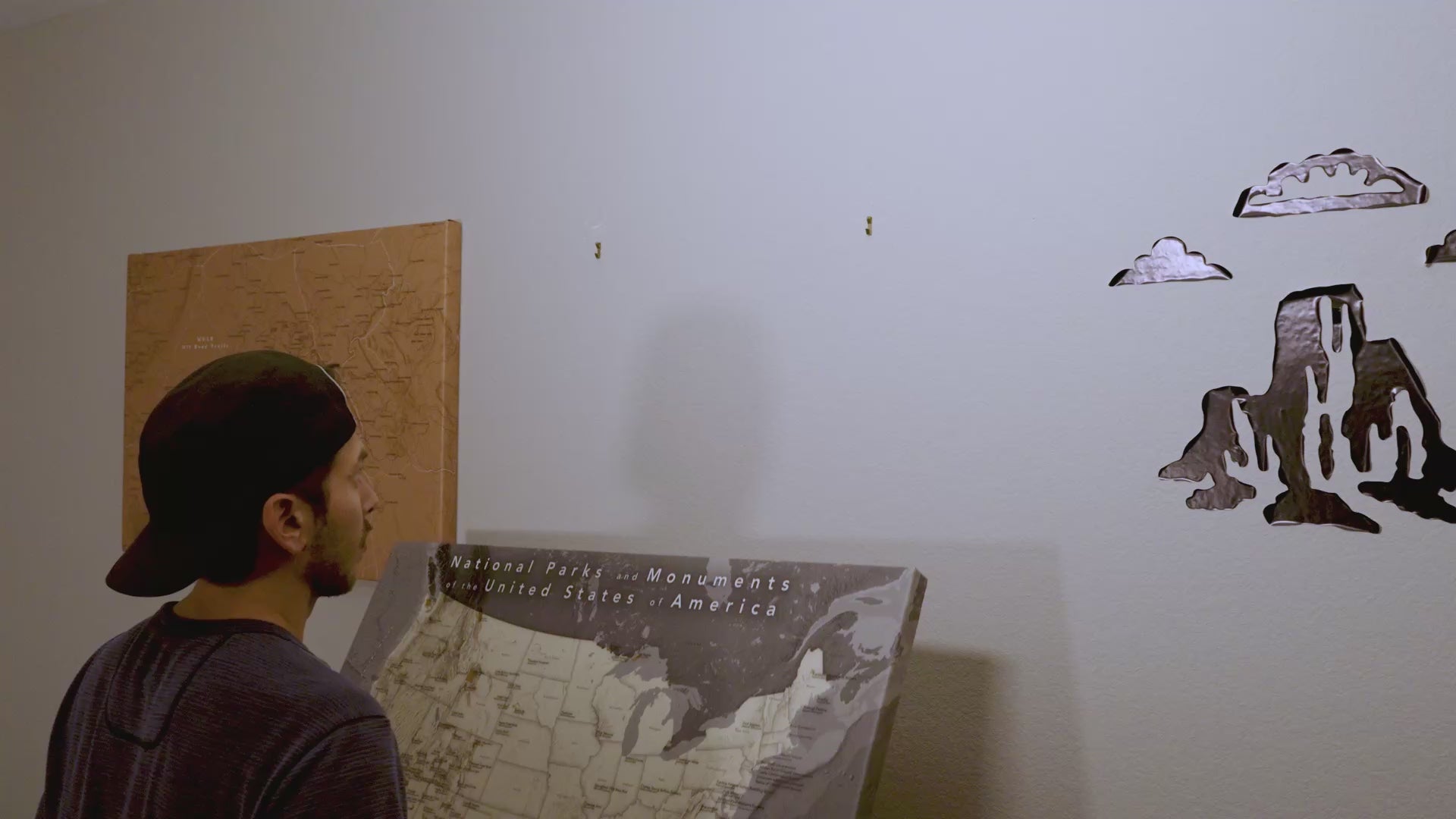
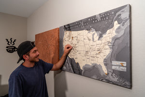
A Map for Everyone
We are a small business with big goals. We are working on more maps every day. Have ideas? Let us know!
Our Story
Our idea started with a Colorado push pin map. We loved pinning the places we had been across the state. Then the idea struck us... What if you could pin the things you love to do, like hiking trails, off road trails, national parks? We decided to offer more colors and quality than most push pin maps you can buy.